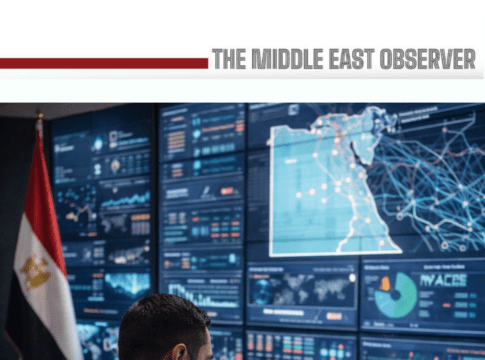
Egypt is scaling up the use of advanced technologies, data platforms, and digital systems to modernize governance across its energy, mining, and water-management sectors, reflecting a broader state push toward evidence-based decision-making and investment-ready infrastructure.
The direction was underscored during a high-level meeting chaired by President Abdel-Fattah El-Sisi with Prime Minister Mostafa Madbouly and Minister of Petroleum and Mineral Resources Karim Badawi, where digital surveys, geospatial data, and cross-sector coordination featured prominently.
At the centre of the discussions was Egypt’s plan to launch its first comprehensive aerial mineral survey in four decades, scheduled for Q1 2026. From a technological standpoint, the survey represents a major leap: modern airborne geophysics combines remote sensing, magnetics, radiometrics, and satellite analytics to produce high-resolution geological maps. Officials say the objective is to replace fragmented legacy data with a centralised, digital geological database, enabling faster exploration decisions and lowering entry barriers for international mining companies. The approach mirrors global best practice, where data availability—rather than resource scarcity—is often the decisive factor for mining investment.
The meeting also highlighted inter-ministerial digital coordination between Petroleum, Electricity, and Renewable Energy authorities to secure gas and energy supplies ahead of summer 2026, a peak-demand period. From a systems perspective, this coordination increasingly relies on forecasting models, consumption analytics, and real-time operational data, allowing authorities to balance domestic production, imports, and infrastructure readiness. Such integration is critical as Egypt positions itself as a regional energy and trading hub, where reliability and predictability are essential to commercial credibility.
Parallel to developments in energy and mining, Egypt has rolled out a satellite-based monitoring system to track aquatic weeds and waste in irrigation canals, deployed by the Ministry of Water Resources and Irrigation. The system leverages free satellite imagery platforms, including Digital Earth Africa and Google Earth Engine, to classify vegetation and detect problem areas in near real time. By automating detection and prioritisation, authorities can move from reactive clearance campaigns to predictive maintenance and targeted intervention. According to officials, the platform allows decision-makers to allocate resources more efficiently, reduce response times, and improve the long-term sustainability of irrigation networks critical to agriculture and food security.
Taken together, the initiatives point to a wider shift in Egypt’s public-sector operating model—away from manual reporting and static studies, and toward continuous data flows, digital dashboards, and AI-enabled analysis. In mining, this means investment decisions driven by transparent geological intelligence. In energy, it translates into tighter system planning and supply resilience. In water management, it enables smarter, faster environmental control across thousands of kilometres of canals.
Beyond operational gains, the technology push carries a strategic message to investors: Egypt is building digital-ready sectors aligned with international standards. Whether in mining concessions, energy infrastructure, or environmental services, the availability of reliable data increasingly defines bankability.
As these platforms mature, Egypt’s challenge will shift from deployment to integration—ensuring that datasets across ministries talk to each other, and that insights translate into faster licensing, clearer risk assessment, and measurable efficiency gains.